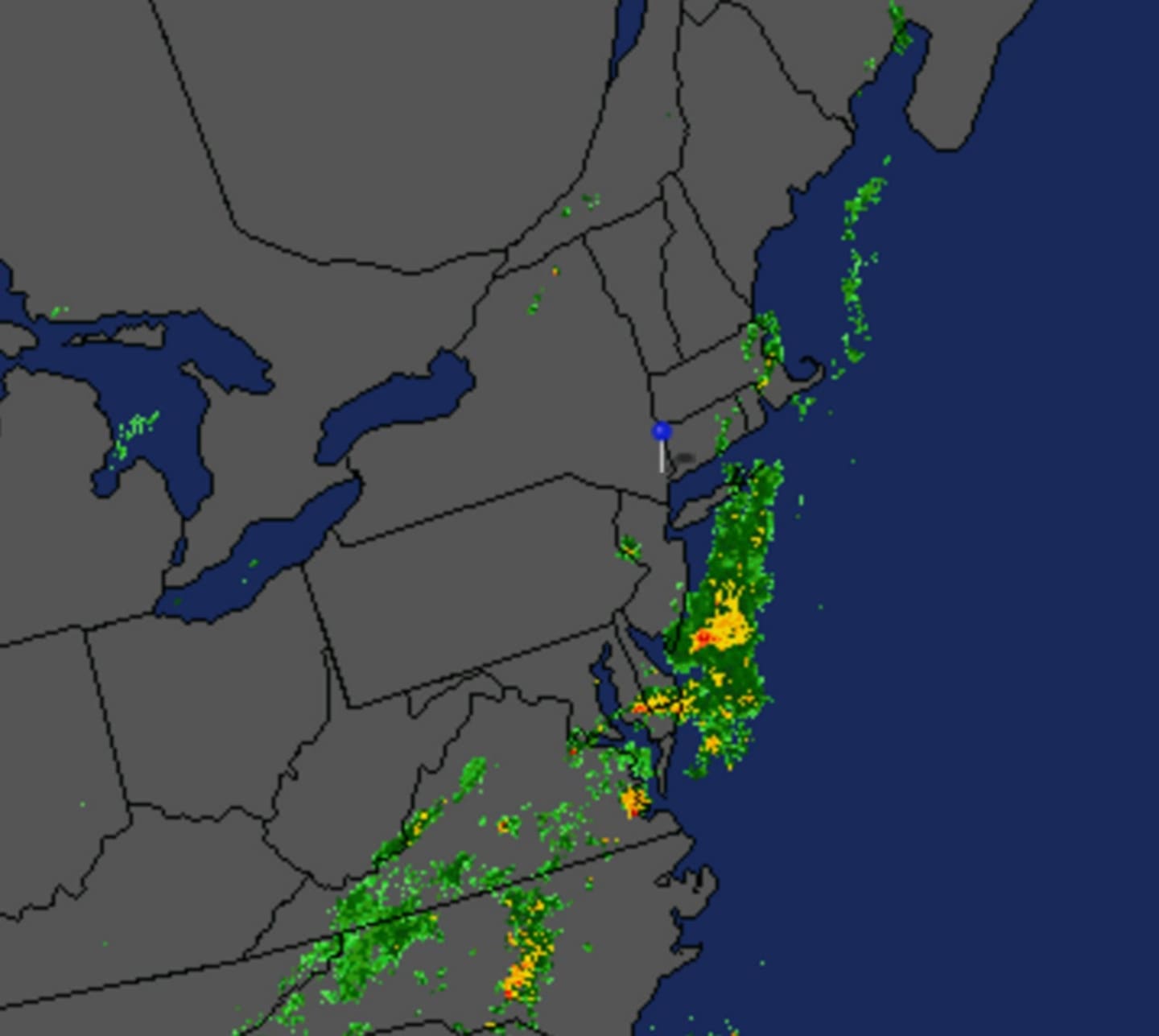
The threat come with the approach of a cold front.
The storms could be accompanied by strong to damaging winds with heavy rain that could produce isolated flash flooding in low lying drainage areas, the service said.
The storm chance starts after noon on Tuesday, which will see a high temperature in the upper 70s.
Showers and thunderstorms are likely through 2 a.m. Wednesday, followed by a chance of showers. New rainfall amounts of between a quarter and half of an inch possible of rain are possible.
Check back to Daily Voice for updates.
Click here to follow Daily Voice Mt. Kisco and receive free news updates.