But it could just be a preview of what's to come as Hurricane Matthew strengthens and threatens to impact the area next week.
Matthew, which had been a tropical storm, became the fifth hurricane of the 2016 Atlantic Hurricane season on Thursday afternoon.
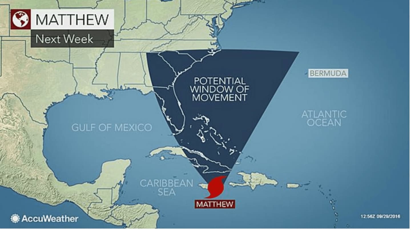
Matthew should make a much-anticipated northwest or northward "Caribbean Turn" sometime this weekend, according to the Weather Channel.
It's uncertain whether or not possible impacts will be direct from a landfall in the U.S. or indirect from a hurricane at sea, but the most likely track has the storm moving up east of the Atlantic Coast, AccuWeather said.
In the meantime, expect steady rain on Friday with as much as an inch possible and a high temperature around 60.
There will be more rain in spots on Saturday, but it is expected to be less frequent than Friday. A thunderstorm is possible Saturday night. Saturday's high temperature will be around 65.
There's a 50 percent chance of rain on Sunday, with the temperature climbing to a high of near 70.
Check back to Daily Voice for updates on Hurricane Matthew's track.
Click here to follow Daily Voice Mt. Kisco and receive free news updates.