The front will be accompanied by thunderstorms Saturday afternoon and evening.
Some of the storms will be severe and produce locally heavy rain, gusty winds, lightning and localized flooding.
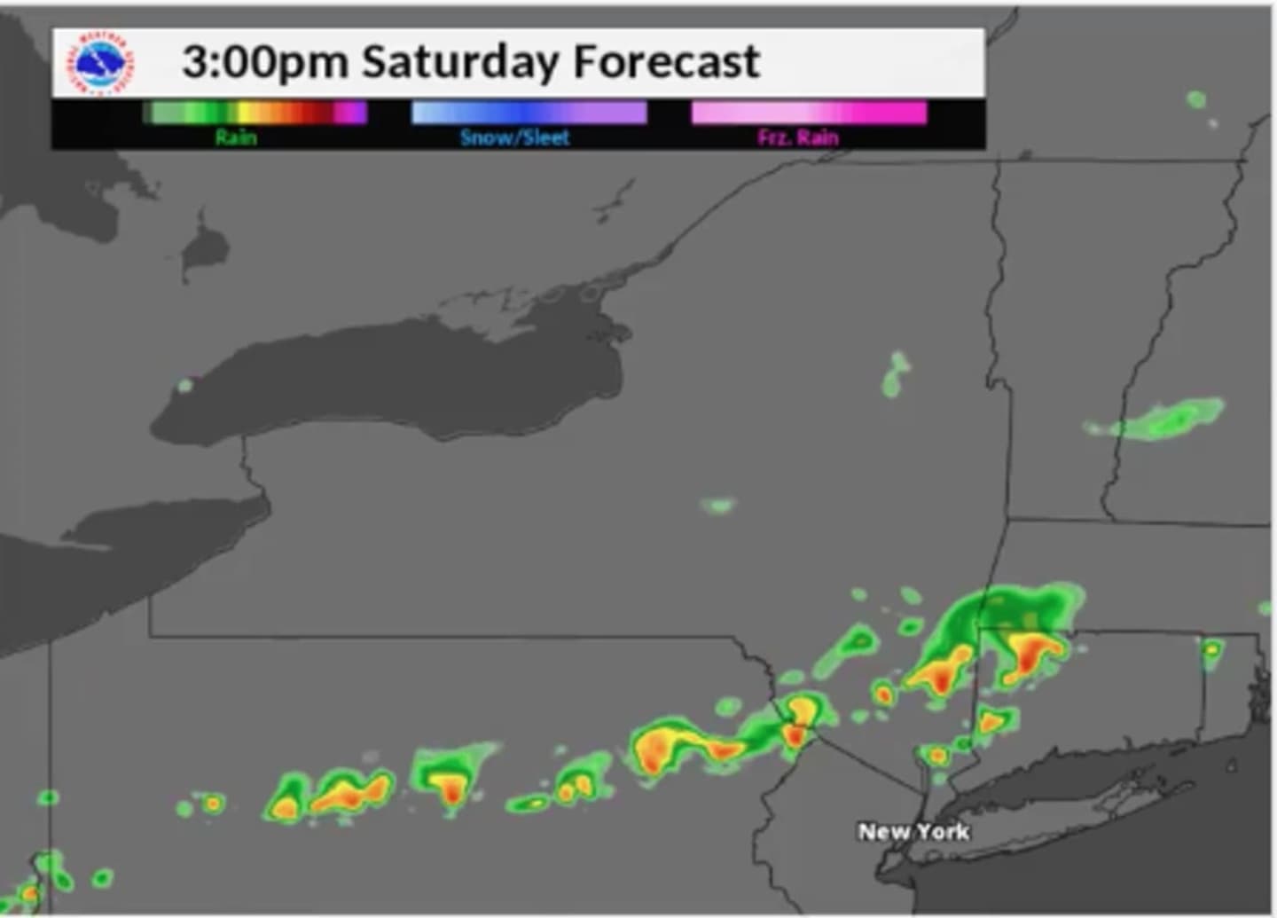
The storms will develop in the early afternoon before sweeping through the area starting sometime around 2 p.m. The model above projects where the storms will be at 3 p.m., with some of the storms severe (in orange).
Saturday will be another hot and humid day with a high in the mid-80s but the heat index making it feel warmer.
The storms are expected to wrap up around 9 p.m. Saturday.
The passage of the cold front will result in a more comfortable day Sunday with a high in the mid-70s, cloudy skies and a chance for showers.
Check back to Daily Voice for updates.
Click here to follow Daily Voice Mt. Kisco and receive free news updates.